

- Aboriginal History
- Cemeteries
- Hospitals
- Hotels
- Maps of the Goldfields
- Military
- Miners
- Miscellaneous
- People
- Places on the Goldfields
- Place Index A-Z
This website is dedicated to the memory of my two dear friends Sandy Duncan and Shyama Peebles who both passed away in 2012.
Pingin > About Pinjin
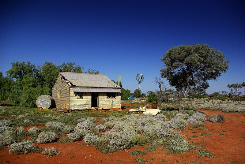
Shearers Quarters Pinjin Station 20111 Photo Dangs Pics
Pinjin - Latitude & Longitude (WGS84):30° 2' 0'' South , 122° 42' 20'' East
.jpg)
Map showing Pinjin - Bonzle.com
The north north-west striking Pinjin Fault contains several sub-parallel shears. The deposition of gold was controlled by the intersections of these structures with the grandiorite. Officially there are two mineralised trends, although gold miners in the early 1900's insist there were three. One is the Oaks-Anglo-Saxon Trend, the second Harbour Lights-King Pinjin trend, and prospectors states a third trend through the Shamrock Mine - Ref Mindat.org
.png)
| Return to Pingin | Next Record Pinjin Cemetery |